
Your Geomatics Solution Provider
Our Story
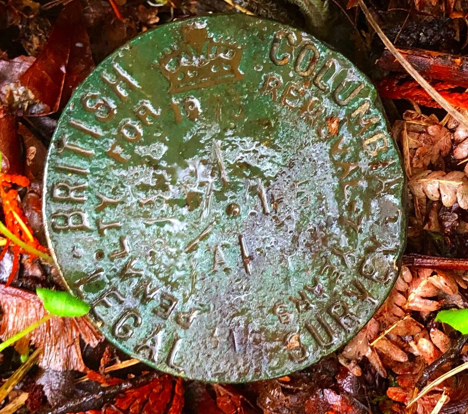
We are a unique group of trailblazing geomatic professionals bringing together old world, traditional surveying methodologies with modern advanced technology. Our lineage is rich in history dating back to the early fifties with the inception of the highway from Vancouver to Squamish (now called the Sea to Sky Highway), the 5 km Kamloops bypass, and most recently upgrading 76 km of the Bamfield road. Love for this discipline flows in our blood and with the skills forged in the rugged and unpredictable ecosystem of Vancouver Island, we can confidently bring our geomatic skills into any landscape and climate in western Canada.

Experts in our field.
For over two decades 3D Geomatics has specialized in providing engineering topographic surveys, construction layout, site plans, legal surveys, as-built surveys and volume surveys. To support some of our clientele’s unique needs and to offer alternative survey options, 3D offers advanced technology solutions such as 3D laser scanning, machine control data support, UAV/drone capabilities, and hydrographic surveys

Here to serve.
We offer a comprehensive range of services to both public and private sectors throughout BC and beyond. Some of our clients include BC Ministry of Transportation and Infrastructure (MoTI), municipalities, utility companies, engineering firms, civil contractors, construction companies and more.
Health and Safety
3D has a comprehensive COR, Health, Safety, and Environmental (HS&E) program in place. All projects are undertaken with HS&E at the forefront of our priorities. The processes 3D has in place include proper instruction and supervision, worksite inspections, first aid training and proper record keeping.

Core Services

Civil Surveying
With nearly two decades of civil surveying up our sleeves, no project is too large or small. Urban, rural or remote, we’ve been there.
Legal Surveying
3D Land Surveying Inc.’s land surveyors have decades of experience performing all tasks related to legal boundary management
Advanced Technologies
Whether your needs are for 3D laser scanning, machine control data support or UAV/drone imagery and LiDAR, we have you covered.

CAD and Data Processing
You’ve come to the right spot for exceptional CAD and Civil 3D deliverables. Looking for 3D site plans, terrain models, volume calculations and more? They are all in our expert wheelhouse.
Projects

Hwy 1 Bradner Rest Area Expansion

Bamfield Road Rehabilitation

AAA Cycling Infrastructure

The Garage 3D Scan

Pitt River Road and Colony Farm Overpass

Fulton River Topographic and Hydrographic Surveys